


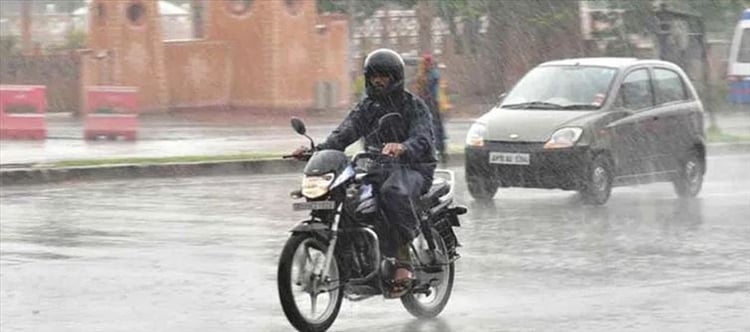

"Thunderstorm accompanied with lightning very likely to occur at isolated places in hyderabad, Rangareddy Jayashankar Bhupalapally, mulugu, bhadradri Kothagudem, Khammam, nalgonda, Suryapet, Mahabubabad, Warangal, Hanamkonda, Jangaon, yadadri Bhuvangiri, medchal Malkajigiri, Nagarkurnool, Wanaparthi, Jogulamba, Gadwal districts of Telangana", said a press release.
The telangana State Development Planning Society (TSDPS) predicted that Nalgonda's Chandampet will receive the most rain on tuesday, at 53.5 mm. It's interesting to note that Nalgonda's Kattangoor registered the hottest temperature ever, 44.4 degrees Celsius.
Hyderabad Weather
State
Kattangoor, nalgonda – 44.7
Palakurthy, Peddapally – 44.6
Kerameru, Kumaram bheem asifabad – 44.4
Medaram, mulugu – 44.2
City
Secunderabad – 41.4
Asifnagar – 40.6
Khairatabad – 40.6
Bahadurpura – 40.2
 click and follow Indiaherald WhatsApp channel