

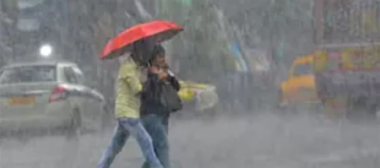

India To Receive Above-Normal Rainfall, 108% Of Long-Period Average In june Likely: IMD
IMD forecasts above-normal june rainfall at 108% of LPA and 106% for the entire monsoon season. Central and South India will likely receive above-normal rainfall, while Northwest India expects normal rainfall.
India is expected to receive above-normal rainfall in june, with precipitation likely to reach 108 percent of the Long-Period Average (LPA), the india Meteorological Department (IMD) said on Tuesday. The country may record 106 percent of the LPA rainfall of 87 cm during the entire four-month Southwest Monsoon season, according to the weather office.
Speaking at a press conference, M Ravichandran, Secretary of the Ministry of Earth Sciences, said, “The monsoon core zone is expected to get above-normal rainfall (more than 106 percent of the long-period average) this season.” The core monsoon zone comprises parts of Madhya Pradesh, Chhattisgarh, Maharashtra, odisha, and surrounding areas, which rely heavily on the monsoon for agriculture.
IMD director General Mrutyunjay Mohapatra further noted that while Central and South Peninsular india are likely to experience above-normal rainfall, Northwest India is expected to receive normal rainfall, news agency PTI reported. However, the Northeast region may witness below-normal rains.
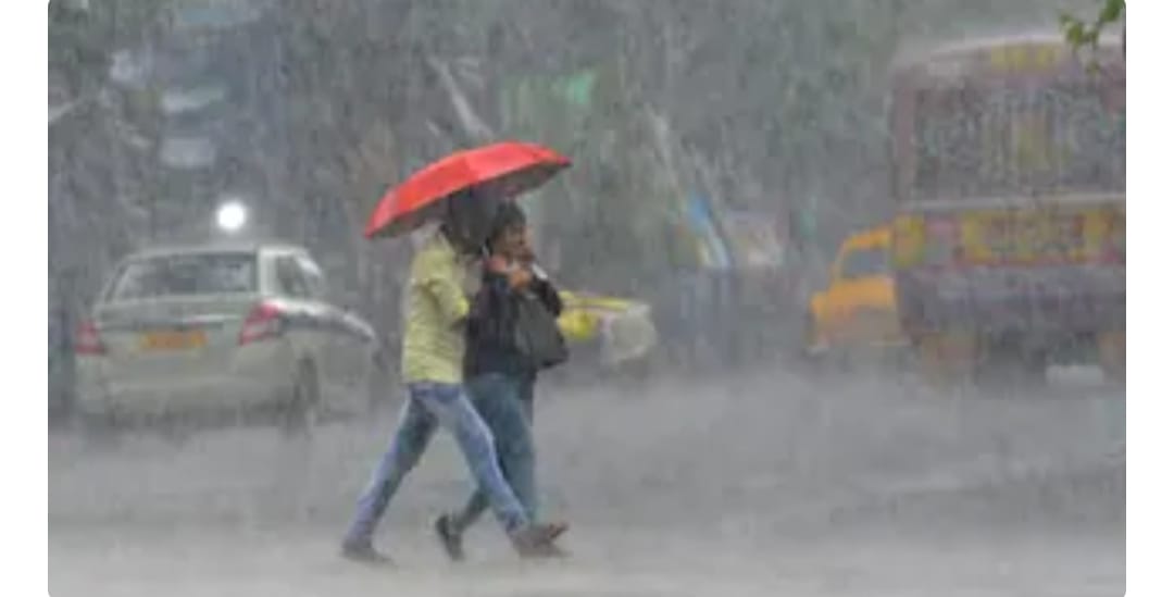
Conditions Favourable For Further Monsoon Advance, Low-Pressure Area Persists Over Bay of Bengal: IMD
In its bulletin, the IMD forecasts widespread rainfall with thunderstorms, lightning, and gusty winds across various regions. South Peninsular india, including Kerala, Mahe, Coastal and Interior Karnataka, Andhra Pradesh, Telangana, tamil Nadu, Puducherry, and Karaikal, is expected to receive heavy to extremely heavy rainfall from 27th May to 2nd June.
In West india, Konkan & Goa, Madhya Maharashtra, Gujarat, and Marathwada will witness moderate to heavy rainfall, with extremely heavy rain likely in ghat areas on 27th May. Northeast india will see widespread rain with isolated very heavy to extremely heavy downpours over Mizoram on the 28th and over assam and meghalaya on the 29th and 30th of May.
Central and east india, including odisha, West bengal, Chhattisgarh, Jharkhand, and Bihar, are forecast to receive scattered to fairly widespread rainfall. Isolated extremely heavy rainfall is likely over Sub-Himalayan West bengal and Sikkim on 30th May.
Northwest india, including Jammu & Kashmir, himachal pradesh, Uttarakhand, Punjab, Haryana, Delhi, and parts of rajasthan and Uttar Pradesh, will experience thunderstorms, lightning, gusty winds, and isolated hailstorms, especially in himachal pradesh on the 27th and 28th May.
The IMD also reported that conditions are favorable for the further advance of the Southwest Monsoon over the remaining parts of central Arabian sea, Maharashtra, Karnataka, Telangana, Andhra Pradesh, Chhattisgarh, and odisha, as well as most of the west-central and parts of north Bay of bengal, West bengal, sikkim, and the northeastern states in the next 2–3 days.
A low-pressure area formed over the northwest Bay of bengal off the odisha coast continues to persist, influenced by a cyclonic circulation that extends up to 7.6 km above mean sea level and tilts southwards with height. The IMD noted that this system is likely to move slowly northwards and become more marked over the next 48 hours.
Additionally, a Western Disturbance is active in the mid-tropospheric westerlies, with its axis at 5.8 km above mean sea level running roughly along 61°E longitude north of 30°N latitude.
 click and follow Indiaherald WhatsApp channel